

The Government of Tuvalu is building a high-resolution digital twin of its territory and culture, a copy of the Pacific atoll nation that could preserve it as sea levels rise. The work is part of the government's Future Now Project, which aims to create a "digital nation".
The data capture is complete, and the government is turning the raw imagery into a multi-scale digital twin. Sources describe an explorable, immersive virtual version of Tuvalu, along with digitized archives, preserved songs and language, and online elections, as goals the government is working towards rather than a live service.
How the capture was done
- National scan: After the 2022 COP27 announcement, Tuvalu completed an airborne Lidar 3D scan of all 124 of its islands and islets, according to the BBC; one report says the scans were uploaded to a website in 2023.
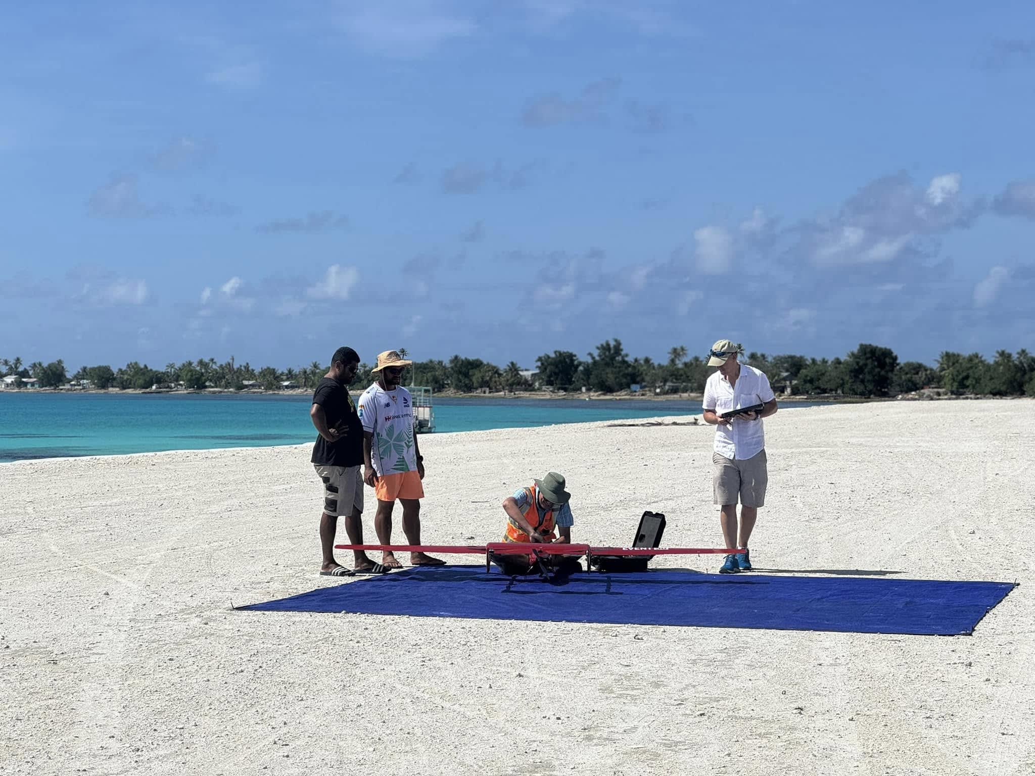
- Aerial imagery: In early 2024, PLACE, a non-profit mapping organization working under a 2023 agreement to collect mapping data for all 26 km² of Tuvalu's land, with support from the Pacific Community's Digital Earth Pacific programme, flew an uncrewed aerial vehicle that, GIM International reports, captured more than 1,000 geotagged images of reefs, shorelines and built-up areas.
- Street level: A Mosaic 51 360-degree camera mounted on a truck captured survey-grade panoramic imagery along every road in Funafuti, the capital. PLACE's field lead told the BBC the team covered about 80 to 90 km of Funafuti in March and April 2024, switching to mopeds and small action cameras for bike and walking paths.
- Processing: Photogrammetry and ArcGIS Reality workflows turn the images into true orthophotos, 3D meshes, a digital surface model of the atoll and dense point clouds that form the backbone of the national digital twin.
Purpose and context
Foreign Minister Simon Kofe has said the aim is to move Tuvalu's land, ocean and culture to the cloud so they stay safe whatever happens in the physical world. Griffith University research fellow Taukiei Kitara has argued that the programme does not accept the loss of the nation as a physical entity, and that planning for multiple scenarios is sensible risk management. An academic critique of the Future Now Project's digital nation aim has also been published.


